I wanted to share with you a brief overview of the timeline for disaster management. As someone with extensive experience in this field, I believe integrating this timeline with empirical insights from past disasters could further enhance the effectiveness of disaster management strategies.The timeline consists of four main phases: mitigation, preparedness, response, and recovery, based on the disaster management cycle. Mitigation focuses on reducing the impact of disasters through long-term measures. Preparedness involves planning and preparing to respond to a disaster. The response phase is activated when a disaster occurs, and the recovery phase focuses on restoring the affected community.Implementing the timeline requires collaboration and coordination, community involvement, and continuous improvement. By understanding and utilizing this timeline, disaster management professionals can effectively plan for and respond to disasters, ultimately reducing their impact on communities.
A timeline for disaster management typically outlines the chronological steps and phases involved in preparing for, responding to, and recovering from disasters. This timeline can be crucial for organizations, governments, and communities to manage the impacts of disasters efficiently. The timeline usually spans before, during, and after a disaster occurs and is divided into four main phases: mitigation, preparedness, response, and recovery. Here’s a brief overview:
1. Mitigation
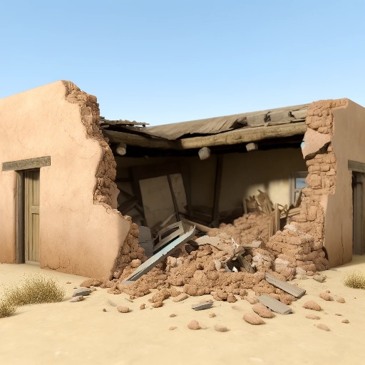
Mitigation involves efforts to reduce the impact of disasters. This phase includes long-term measures aimed at minimizing or altogether avoiding the effects of disasters. Examples include building dams or levees to prevent flooding, enforcing building codes to withstand earthquakes, and implementing fire management strategies in wildfire-prone areas.
How to use:
Implement building and infrastructure standards that can withstand natural disasters.
Conduct environmental assessments and hazard analyses to identify risks and vulnerabilities.
Develop and enforce land-use policies that consider hazard-prone areas.
2. Preparedness
Preparedness focuses on planning and preparing to respond to a disaster. This phase involves training, exercises, establishing emergency plans, stocking supplies, and ensuring communication systems are in place.
How to use:
Conduct drills and exercises for emergency services and the public.
Develop and disseminate emergency plans, including evacuation routes and shelter locations.
Educate the community about disaster risks and how to prepare for them.
3. Response
The response phase is activated when a disaster occurs. It includes immediate actions taken to ensure safety, such as search and rescue operations, providing emergency services, and offering immediate relief to affected individuals.
How to use:
Activate emergency operations centers and disaster response plans.
Deploy emergency services and first responders to the affected areas.
provide emergency communications and information to the public.
4. Recovery
Recovery involves restoring the affected community to normal or better conditions. This phase can be short-term, focusing on immediate needs, or long-term, focusing on rebuilding and rehabilitation.
How to use:
Assess the damage and prioritize recovery efforts.
Support affected individuals and communities through rebuilding and financial assistance programs.
Review and revise disaster management plans based on lessons learned.
Implementing the Timeline
Collaboration and Coordination: Work with local, national, and international bodies to share information and resources.
Community Involvement: Engage the community in all phases to ensure that disaster management efforts are inclusive and meet the needs of all affected populations.
Continuous Improvement: Regularly review and update disaster management plans based on new information, technologies, and lessons learned from past events.
By understanding and utilizing this timeline, disaster management professionals can effectively plan for and respond to disasters, ultimately reducing their impact on communities.
A timeline can be derived from the disaster management cycle. The precise timetable for community disaster management is more specific, with intervals of two days, one day, three hours, during the disaster, and so forth.
In reference to:
What is the disaster management cycle?
What Is a Disaster Management Cycle?